Looking up the A728 towards Parkhead Football Stadium
Introduction
The photograph on this page of Looking up the A728 towards Parkhead Football Stadium by Gordon Brown as part of the Geograph project.
The Geograph project started in 2005 with the aim of publishing, organising and preserving representative images for every square kilometre of Great Britain, Ireland and the Isle of Man.

There are currently over 7.5m images from over 14,400 individuals and you can help contribute to the project by visiting https://www.geograph.org.uk
Looking up the A728 towards Parkhead Football Stadium
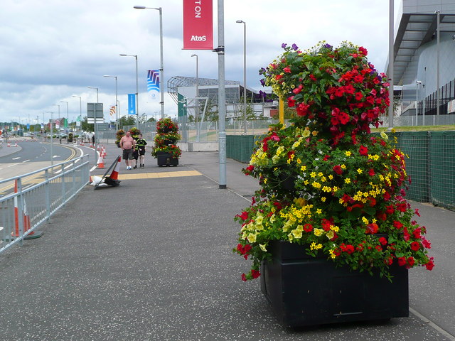
Image: © Gordon Brown Taken: 15 Jul 2014
This stretch of road is now rechristened "Clyde Gateway" and will be the main access to the Emirates Arena from Dalmarnock Station (all this with the 2014 Commonwealth games in mind!). Parkhead is the large stadium in the distance; the Emirates just shows on the right.
Images are licensed for reuse under creativecommons.org/licenses/by-sa/2.0
Image Location
Latitude
55.846065
Longitude
-4.211226