Tadcaster War Memorial
Introduction
The photograph on this page of Tadcaster War Memorial by Mike Kirby as part of the Geograph project.
The Geograph project started in 2005 with the aim of publishing, organising and preserving representative images for every square kilometre of Great Britain, Ireland and the Isle of Man.

There are currently over 7.5m images from over 14,400 individuals and you can help contribute to the project by visiting https://www.geograph.org.uk
Tadcaster War Memorial
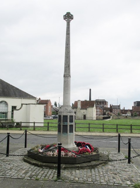
Image: © Mike Kirby Taken: 5 Jun 2014
Located on a triangular plot at the junction of Westgate and Chapel Street, this memorial commemorates the residents of Tadcaster who were killed or missing in the two world wars.
Images are licensed for reuse under creativecommons.org/licenses/by-sa/2.0
Image Location
Latitude
53.884802
Longitude
-1.264094