Playing Field, Hurstpierpoint College
Introduction
The photograph on this page of Playing Field, Hurstpierpoint College by Simon Carey as part of the Geograph project.
The Geograph project started in 2005 with the aim of publishing, organising and preserving representative images for every square kilometre of Great Britain, Ireland and the Isle of Man.

There are currently over 7.5m images from over 14,400 individuals and you can help contribute to the project by visiting https://www.geograph.org.uk
Playing Field, Hurstpierpoint College
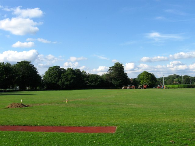
Image: © Simon Carey Taken: 13 Jul 2014
Located to the north of Image and east of Malthouse Lane. Once a field called Cophall Ten Acres which was named after the house on which Hurstpierpoint College was built.
Images are licensed for reuse under creativecommons.org/licenses/by-sa/2.0
Image Location


Leaflet Map data © OpenStreetMap
Latitude
50.944011
Longitude
-0.16289