Crossroads and track
Introduction
The photograph on this page of Crossroads and track by Ruth Sharville as part of the Geograph project.
The Geograph project started in 2005 with the aim of publishing, organising and preserving representative images for every square kilometre of Great Britain, Ireland and the Isle of Man.

There are currently over 7.5m images from over 14,400 individuals and you can help contribute to the project by visiting https://www.geograph.org.uk
Crossroads and track
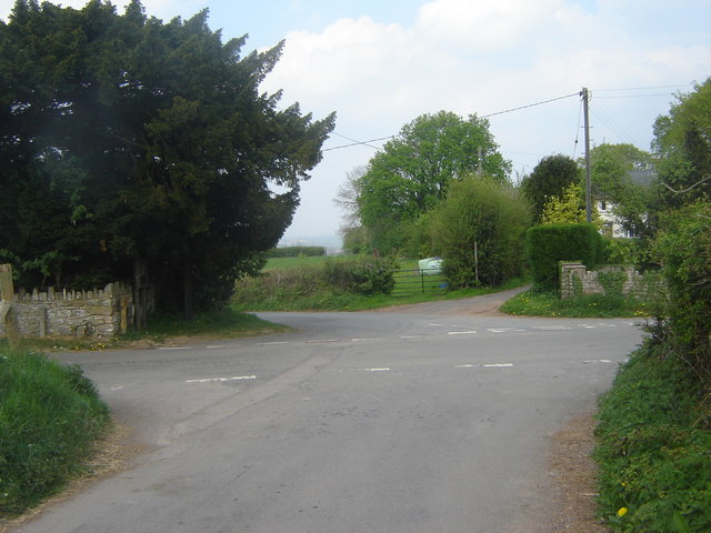
Image: © Ruth Sharville Taken: 20 Apr 2007
This is the crossroads near the Methodist Chapel. Unusually, it doesn't go straight across - you can see from the map what I mean! Perhaps the track, which does go opposite in the normal way, carried the original crossing?
Images are licensed for reuse under creativecommons.org/licenses/by-sa/2.0
Image Location
Latitude
51.736588
Longitude
-2.885345