St Bride's Brook from bridge, near St Brigid's Church
Introduction
The photograph on this page of St Bride's Brook from bridge, near St Brigid's Church by Ruth Sharville as part of the Geograph project.
The Geograph project started in 2005 with the aim of publishing, organising and preserving representative images for every square kilometre of Great Britain, Ireland and the Isle of Man.

There are currently over 7.5m images from over 14,400 individuals and you can help contribute to the project by visiting https://www.geograph.org.uk
St Bride's Brook from bridge, near St Brigid's Church
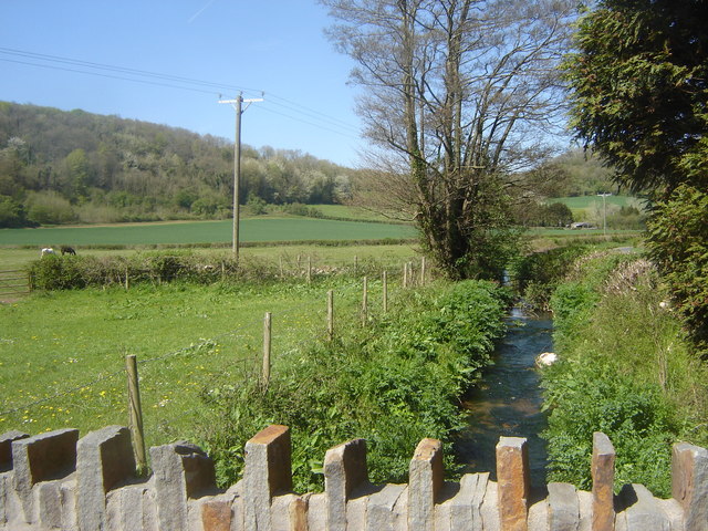
Image: © Ruth Sharville Taken: 19 Apr 2007
This bridge carries the footpath from Carrow Hill to and beyond Salisbury Farm. It also gives access to the church.
Images are licensed for reuse under creativecommons.org/licenses/by-sa/2.0
Image Location
Latitude
51.602508
Longitude
-2.826133