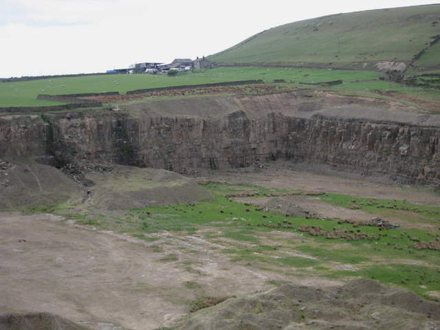
Hutch Bank Quarry
Introduction
The photograph on this page of Hutch Bank Quarry by Paul Anderson as part of the Geograph project.
The Geograph project started in 2005 with the aim of publishing, organising and preserving representative images for every square kilometre of Great Britain, Ireland and the Isle of Man.
There are currently over 7.5m images from over 14,400 individuals and you can help contribute to the project by visiting https://www.geograph.org.uk

Image: © Paul Anderson Taken: 19 Apr 2007
Hutch Bank Quarry is located 1 km to the west of Haslingden town centre and occupies an elevated site to the north of the B6232 Grane Road, overlooking the town and western part of the Rossendale valley. The quarry has a longstanding history of sandstone extraction, but is currently dormant. Following a review by Lancashire Council a new schedule of conditions has been issued, meaning the quarry is able to resume operations at any time. See also Image The farm above the quarry is Windy Harbour Farm.
Image Location


