Day Brook Recreation Ground, Nottingham NG5
Introduction
The photograph on this page of Day Brook Recreation Ground, Nottingham NG5 by David Hallam-Jones as part of the Geograph project.
The Geograph project started in 2005 with the aim of publishing, organising and preserving representative images for every square kilometre of Great Britain, Ireland and the Isle of Man.

There are currently over 7.5m images from over 14,400 individuals and you can help contribute to the project by visiting https://www.geograph.org.uk
Day Brook Recreation Ground, Nottingham NG5
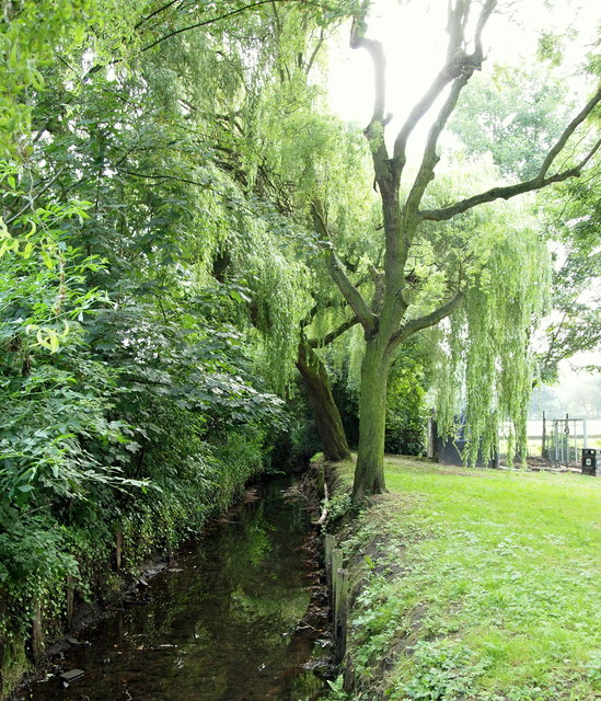
Image: © David Hallam-Jones Taken: 12 Jul 2014
The brook appearing from behind the area occupied by several public bowling greens. The security gates on the right are left open during daylight hours to allow walkers to use a footpath that runs between Mansfield Road and the western-most end of this recreation ground. They are however, locked at dusk to discourage misuse of the unsupervised bowling greens at night.
Images are licensed for reuse under creativecommons.org/licenses/by-sa/2.0
Image Location
Latitude
52.990899
Longitude
-1.146784