Day Brook Recreation Ground, Nottingham NG5
Introduction
The photograph on this page of Day Brook Recreation Ground, Nottingham NG5 by David Hallam-Jones as part of the Geograph project.
The Geograph project started in 2005 with the aim of publishing, organising and preserving representative images for every square kilometre of Great Britain, Ireland and the Isle of Man.

There are currently over 7.5m images from over 14,400 individuals and you can help contribute to the project by visiting https://www.geograph.org.uk
Day Brook Recreation Ground, Nottingham NG5
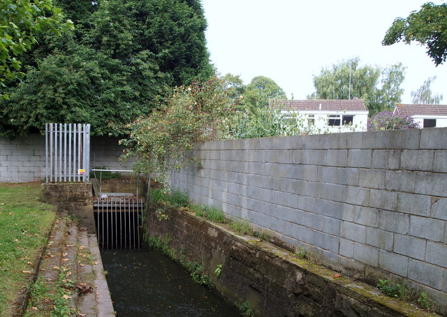
Image: © David Hallam-Jones Taken: 12 Jul 2014
Here the brook has passed the rear of the public bowling greens and is about to disappear underground for several hundred metres near to Mossdale Road.
Images are licensed for reuse under creativecommons.org/licenses/by-sa/2.0
Image Location
Latitude
52.990724
Longitude
-1.147384