Guardbridge
Introduction
The photograph on this page of Guardbridge by Jim Bain as part of the Geograph project.
The Geograph project started in 2005 with the aim of publishing, organising and preserving representative images for every square kilometre of Great Britain, Ireland and the Isle of Man.

There are currently over 7.5m images from over 14,400 individuals and you can help contribute to the project by visiting https://www.geograph.org.uk
Guardbridge
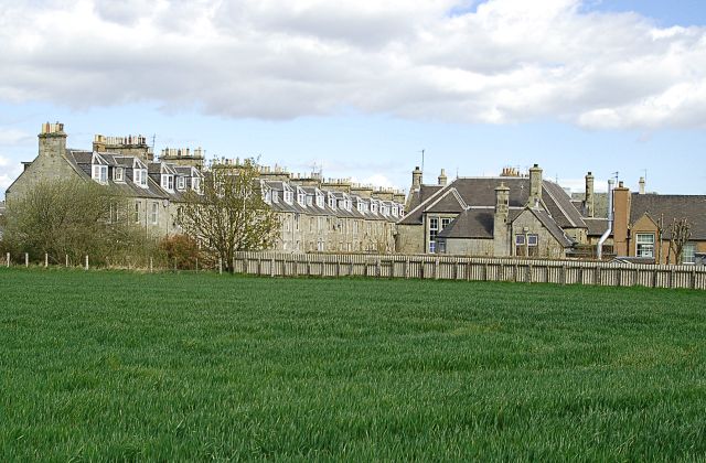
Image: © Jim Bain Taken: 19 Apr 2007
The SE edge of Guardbridge from the Seggie path. The building on the right is Guardbridge Primary School.
Images are licensed for reuse under creativecommons.org/licenses/by-sa/2.0
Image Location
Latitude
56.366199
Longitude
-2.8948