Kings Head House, Islip
Introduction
The photograph on this page of Kings Head House, Islip by Alan Murray-Rust as part of the Geograph project.
The Geograph project started in 2005 with the aim of publishing, organising and preserving representative images for every square kilometre of Great Britain, Ireland and the Isle of Man.

There are currently over 7.5m images from over 14,400 individuals and you can help contribute to the project by visiting https://www.geograph.org.uk
Kings Head House, Islip
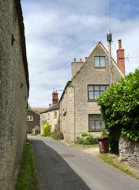
Image: © Alan Murray-Rust Taken: 3 Jul 2014
The name of the house is the clue to its former existence as the Kings Head pub. Parts of the building date back to possibly the late 16th century, although remodelling took place in later centuries, including this gable end. Listed Grade II.
Images are licensed for reuse under creativecommons.org/licenses/by-sa/2.0
Image Location
Latitude
51.822502
Longitude
-1.236205