Knowlegates Farm
Introduction
The photograph on this page of Knowlegates Farm by Derek Harper as part of the Geograph project.
The Geograph project started in 2005 with the aim of publishing, organising and preserving representative images for every square kilometre of Great Britain, Ireland and the Isle of Man.

There are currently over 7.5m images from over 14,400 individuals and you can help contribute to the project by visiting https://www.geograph.org.uk
Knowlegates Farm
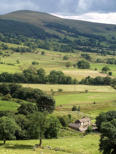
Image: © Derek Harper Taken: 8 Jul 2014
From Castleton footpath 12, with Lose Hill in the background.
Images are licensed for reuse under creativecommons.org/licenses/by-sa/2.0
Image Location
Latitude
53.347315
Longitude
-1.79417