Wragg Castle Lane, Pitchcombe
Introduction
The photograph on this page of Wragg Castle Lane, Pitchcombe by Jaggery as part of the Geograph project.
The Geograph project started in 2005 with the aim of publishing, organising and preserving representative images for every square kilometre of Great Britain, Ireland and the Isle of Man.

There are currently over 7.5m images from over 14,400 individuals and you can help contribute to the project by visiting https://www.geograph.org.uk
Wragg Castle Lane, Pitchcombe
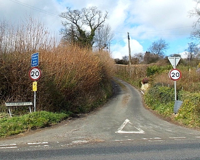
Image: © Jaggery Taken: 23 Mar 2014
Unsuitable for heavy goods vehicles and with a 20mph speed limit, Wragg Castle Lane ascends towards the A4173 from the A46 Cheltenham Road.
Images are licensed for reuse under creativecommons.org/licenses/by-sa/2.0
Image Location
Latitude
51.774258
Longitude
-2.21257