Wilderness Road, Hurstpierpoint
Introduction
The photograph on this page of Wilderness Road, Hurstpierpoint by Simon Carey as part of the Geograph project.
The Geograph project started in 2005 with the aim of publishing, organising and preserving representative images for every square kilometre of Great Britain, Ireland and the Isle of Man.

There are currently over 7.5m images from over 14,400 individuals and you can help contribute to the project by visiting https://www.geograph.org.uk
Wilderness Road, Hurstpierpoint
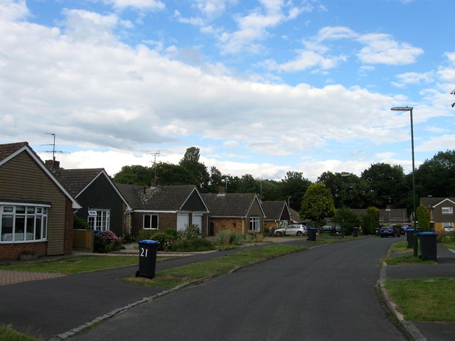
Image: © Simon Carey Taken: 6 Jul 2014
A looping road off marchants Road built in the late 1960s/early 1970s. Named after The Wilderness which is the wood beyond the estate.
Images are licensed for reuse under creativecommons.org/licenses/by-sa/2.0
Image Location
Latitude
50.93694
Longitude
-0.176548