Danbury Church
Introduction
The photograph on this page of Danbury Church by Glyn Baker as part of the Geograph project.
The Geograph project started in 2005 with the aim of publishing, organising and preserving representative images for every square kilometre of Great Britain, Ireland and the Isle of Man.

There are currently over 7.5m images from over 14,400 individuals and you can help contribute to the project by visiting https://www.geograph.org.uk
Danbury Church
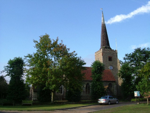
Image: © Glyn Baker Taken: 20 Aug 2005
Danbury Church was built within the enclosure of a six-acre (2.4 Ha) Iron Age hill fort. The outline of which was first described in 1890. Danbury Hill rises to more than 100m so the church spire is a landmark for many miles.
Images are licensed for reuse under creativecommons.org/licenses/by-sa/2.0
Image Location


Leaflet Map data © OpenStreetMap
Latitude
51.716412
Longitude
0.57387