Country lane at Mountsett
Introduction
The photograph on this page of Country lane at Mountsett by Robert Graham as part of the Geograph project.
The Geograph project started in 2005 with the aim of publishing, organising and preserving representative images for every square kilometre of Great Britain, Ireland and the Isle of Man.

There are currently over 7.5m images from over 14,400 individuals and you can help contribute to the project by visiting https://www.geograph.org.uk
Country lane at Mountsett
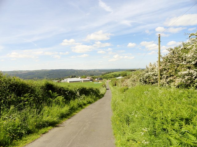
Image: © Robert Graham Taken: 6 Jun 2014
This lane leads down from Mountsett, past several farms and onto the Lintz road. Upper Lintz Farm down the lane, and the northern slopes of the Derwent Valley beyond.
Images are licensed for reuse under creativecommons.org/licenses/by-sa/2.0
Image Location
Latitude
54.893432
Longitude
-1.746304