Gonalston Lane north of Lowdham
Introduction
The photograph on this page of Gonalston Lane north of Lowdham by Richard Vince as part of the Geograph project.
The Geograph project started in 2005 with the aim of publishing, organising and preserving representative images for every square kilometre of Great Britain, Ireland and the Isle of Man.

There are currently over 7.5m images from over 14,400 individuals and you can help contribute to the project by visiting https://www.geograph.org.uk
Gonalston Lane north of Lowdham
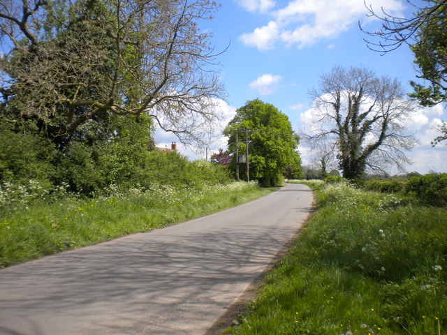
Image: © Richard Vince Taken: 14 May 2014
Gonalston Lane links Epperstone (behind the photographer) with Gonalston, bypassing Lowdham, which is about half a mile south of this spot. The chimneys of Car Holt Farm are just peeping over the hedge on the left.
Images are licensed for reuse under creativecommons.org/licenses/by-sa/2.0
Image Location
Latitude
53.021281
Longitude
-1.007389