Alderney, Bourne Stream
Introduction
The photograph on this page of Alderney, Bourne Stream by Mike Faherty as part of the Geograph project.
The Geograph project started in 2005 with the aim of publishing, organising and preserving representative images for every square kilometre of Great Britain, Ireland and the Isle of Man.

There are currently over 7.5m images from over 14,400 individuals and you can help contribute to the project by visiting https://www.geograph.org.uk
Alderney, Bourne Stream
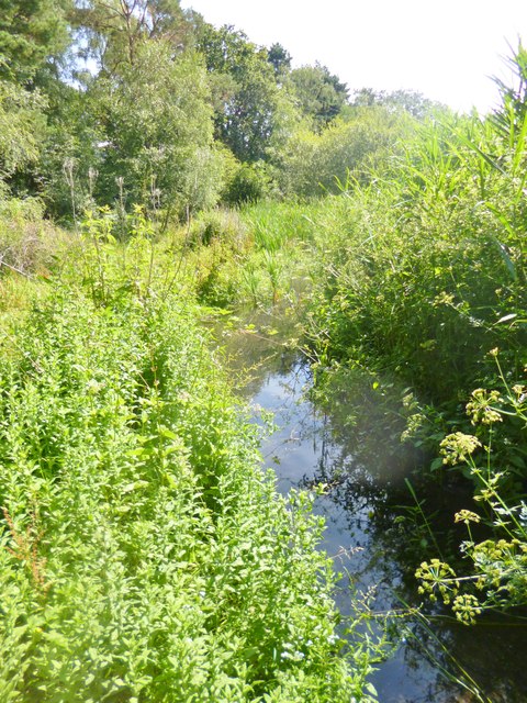
Image: © Mike Faherty Taken: 2 Jul 2014
Rising on Canford Heath and flowing into the sea near Bournemouth Pier. An idyllic site, sandwiched between suburban housing and light industry: http://www.boroughofpoole.com/environment/countryside/bourne-valley-nature-reserve/
Images are licensed for reuse under creativecommons.org/licenses/by-sa/2.0
Image Location
Latitude
50.750981
Longitude
-1.932758