The village sign at Ruckinge
Introduction
The photograph on this page of The village sign at Ruckinge by Marathon as part of the Geograph project.
The Geograph project started in 2005 with the aim of publishing, organising and preserving representative images for every square kilometre of Great Britain, Ireland and the Isle of Man.

There are currently over 7.5m images from over 14,400 individuals and you can help contribute to the project by visiting https://www.geograph.org.uk
The village sign at Ruckinge
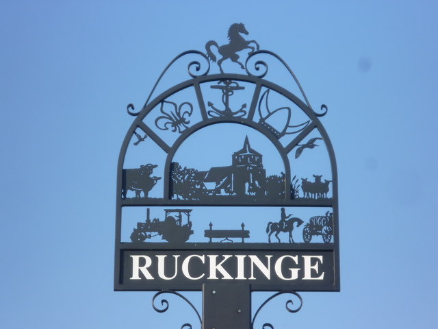
Image: © Marathon Taken: 23 Jun 2014
The horse of Kent stands atop the village sign, with an anchor, a viking helmet, the Fleur de Lis, cattle, the church and sheep, a tractor, stocks and a highway robbery all indicating the history and present life of the village. This is a most interesting and attractive sign. Its setting can be seen at http://www.geograph.org.uk/photo/4058899
Images are licensed for reuse under creativecommons.org/licenses/by-sa/2.0
Image Location
Latitude
51.066516
Longitude
0.889936