A narrow stretch of the High Street, Manningtree
Introduction
The photograph on this page of A narrow stretch of the High Street, Manningtree by David Smith as part of the Geograph project.
The Geograph project started in 2005 with the aim of publishing, organising and preserving representative images for every square kilometre of Great Britain, Ireland and the Isle of Man.

There are currently over 7.5m images from over 14,400 individuals and you can help contribute to the project by visiting https://www.geograph.org.uk
A narrow stretch of the High Street, Manningtree
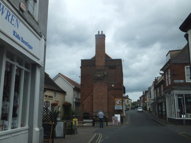
Image: © David Smith Taken: 16 Jun 2014
Buildings erected in the 19th century do not leave enough space for two lanes of traffic. This is the junction with South Street
Images are licensed for reuse under creativecommons.org/licenses/by-sa/2.0
Image Location


Leaflet Map data © OpenStreetMap
Latitude
51.945407
Longitude
1.064291