Ladyburn
Introduction
The photograph on this page of Ladyburn by Thomas Nugent as part of the Geograph project.
The Geograph project started in 2005 with the aim of publishing, organising and preserving representative images for every square kilometre of Great Britain, Ireland and the Isle of Man.

There are currently over 7.5m images from over 14,400 individuals and you can help contribute to the project by visiting https://www.geograph.org.uk
Ladyburn
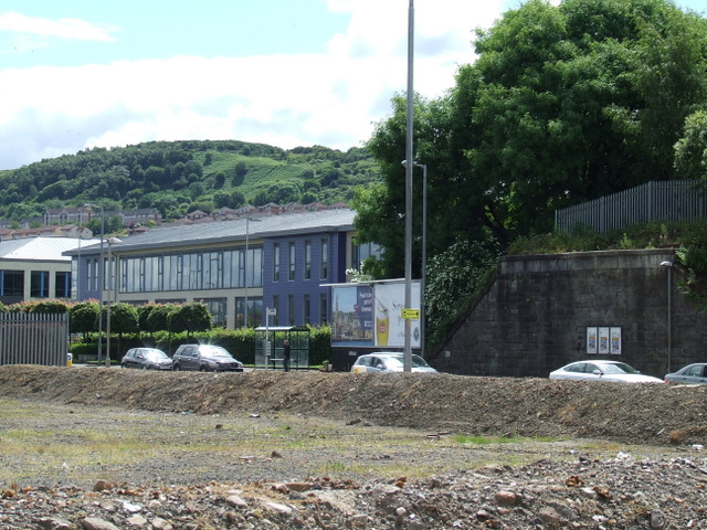
Image: © Thomas Nugent Taken: 29 Jun 2014
Vacant ground at the east end of James Watt Dock where the railway bridge was removed in 2010. The earth mounds are intended to discourage travellers from camping there, as has happened in the past. Ladyburn Business Park is in the background, the nearest building is occupied by IBM.
Images are licensed for reuse under creativecommons.org/licenses/by-sa/2.0
Image Location


Leaflet Map data © OpenStreetMap
Latitude
55.941585
Longitude
-4.723378