Sedbrook Sewer
Introduction
The photograph on this page of Sedbrook Sewer by Marathon as part of the Geograph project.
The Geograph project started in 2005 with the aim of publishing, organising and preserving representative images for every square kilometre of Great Britain, Ireland and the Isle of Man.

There are currently over 7.5m images from over 14,400 individuals and you can help contribute to the project by visiting https://www.geograph.org.uk
Sedbrook Sewer
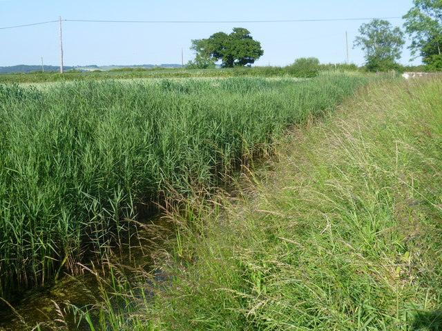
Image: © Marathon Taken: 23 Jun 2014
Sedbrook Sewer passes under the road to Ruckinge just ahead. Kitsbridge Lane which is classed as a 'Byway open to all traffic' is to the right - see http://www.geograph.org.uk/photo/4057769 The higher ground above the Marsh can be seen to the left. The name 'Sewer' is common on Romney Marsh, but the 'sewers' are attractive and clean waterways, and part of the drainage system of Romney Marsh which ties in with the Royal Military Canal.
Images are licensed for reuse under creativecommons.org/licenses/by-sa/2.0
Image Location
Latitude
51.053371
Longitude
0.894112