Track to Black Hills Farm
Introduction
The photograph on this page of Track to Black Hills Farm by Jonathan Thacker as part of the Geograph project.
The Geograph project started in 2005 with the aim of publishing, organising and preserving representative images for every square kilometre of Great Britain, Ireland and the Isle of Man.

There are currently over 7.5m images from over 14,400 individuals and you can help contribute to the project by visiting https://www.geograph.org.uk
Track to Black Hills Farm
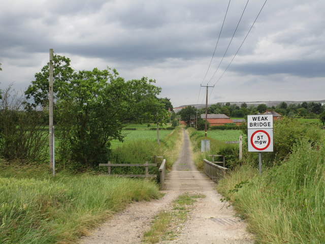
Image: © Jonathan Thacker Taken: 4 Jul 2014
This track runs from the A6075 to the exchange sidings at Thoresby Colliery Junction. The spoil heaps of Thoresby Colliery can be seen in the distance.
Images are licensed for reuse under creativecommons.org/licenses/by-sa/2.0
Image Location
Latitude
53.194051
Longitude
-1.050853