Dunsfold Road junction with The Street, Plaistow
Introduction
The photograph on this page of Dunsfold Road junction with The Street, Plaistow by Stuart Logan as part of the Geograph project.
The Geograph project started in 2005 with the aim of publishing, organising and preserving representative images for every square kilometre of Great Britain, Ireland and the Isle of Man.

There are currently over 7.5m images from over 14,400 individuals and you can help contribute to the project by visiting https://www.geograph.org.uk
Dunsfold Road junction with The Street, Plaistow
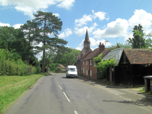
Image: © Stuart Logan Taken: 29 Jun 2014
Centre picture Holy Trinity Church is not listed but several other buildings in Plaistow are: The Corner Shop is behind the white van and dates from the 18th C.
Images are licensed for reuse under creativecommons.org/licenses/by-sa/2.0
Image Location
Latitude
51.069553
Longitude
-0.567854