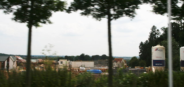
More, more and more houses for Northampton
Introduction
The photograph on this page of More, more and more houses for Northampton by Chris as part of the Geograph project.
The Geograph project started in 2005 with the aim of publishing, organising and preserving representative images for every square kilometre of Great Britain, Ireland and the Isle of Man.
There are currently over 7.5m images from over 14,400 individuals and you can help contribute to the project by visiting https://www.geograph.org.uk

Image: © Chris Taken: 2 Jul 2014
As the government presses for more and more houses, Northampton simply grows and grows. This estate will join the village of Upton to the town. Yet the roads are already so busy that stopping for a better look was not an option. Perhaps it was for the best...

