
Brook through Broadmeadow industrial estate, Teignmouth
Introduction
The photograph on this page of Brook through Broadmeadow industrial estate, Teignmouth by Robin Stott as part of the Geograph project.
The Geograph project started in 2005 with the aim of publishing, organising and preserving representative images for every square kilometre of Great Britain, Ireland and the Isle of Man.

There are currently over 7.5m images from over 14,400 individuals and you can help contribute to the project by visiting https://www.geograph.org.uk
Brook through Broadmeadow industrial estate, Teignmouth
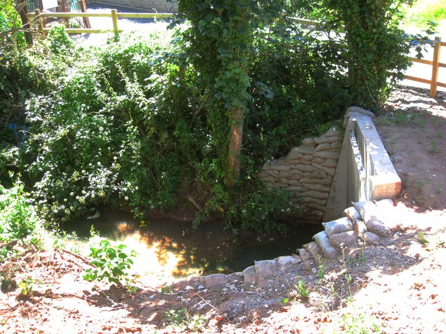
Image: © Robin Stott Taken: 6 Jul 2013
The OS map shows, a little way upstream (left), Issues, although the brook probably comes down the length of Broadmeadow. The local street map shows the name 'Daymans' alongside the brook, as though it were a housename, but the only feature in that position is a gas installation. Old maps do not show a property there: a puzzle. The watercourse runs down a narrow green corridor through the industrial estate, then under Bishopsteignton Road to join the River Teign.
Images are licensed for reuse under creativecommons.org/licenses/by-sa/2.0
Image Location

Latitude
50.54689
Longitude
-3.515657