Stanley Park Road dropping westwards into the valley
Introduction
The photograph on this page of Stanley Park Road dropping westwards into the valley by Christopher Hilton as part of the Geograph project.
The Geograph project started in 2005 with the aim of publishing, organising and preserving representative images for every square kilometre of Great Britain, Ireland and the Isle of Man.

There are currently over 7.5m images from over 14,400 individuals and you can help contribute to the project by visiting https://www.geograph.org.uk
Stanley Park Road dropping westwards into the valley
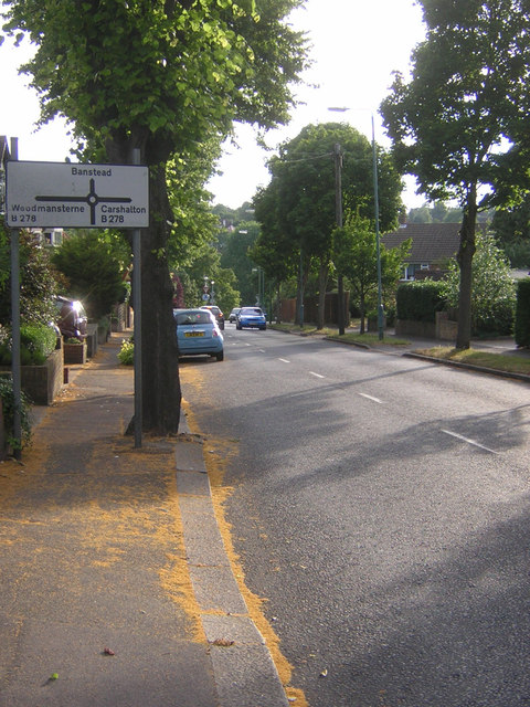
Image: © Christopher Hilton Taken: 4 Jul 2014
The B278 (Beeches Avenue / Woodmansterne Road) follows a valley southwards out of Carshalton: Stanley Park Road here forms part of an east-west route that dips into that valley and up out on the other side.
Images are licensed for reuse under creativecommons.org/licenses/by-sa/2.0
Image Location
Latitude
51.353491
Longitude
-0.170542