Rosemary Branch no more
Introduction
The photograph on this page of Rosemary Branch no more by Hugh Venables as part of the Geograph project.
The Geograph project started in 2005 with the aim of publishing, organising and preserving representative images for every square kilometre of Great Britain, Ireland and the Isle of Man.

There are currently over 7.5m images from over 14,400 individuals and you can help contribute to the project by visiting https://www.geograph.org.uk
Rosemary Branch no more
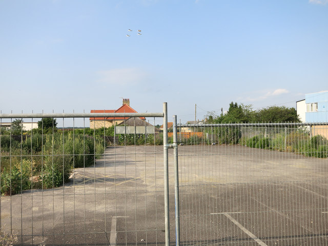
Image: © Hugh Venables Taken: 20 Jun 2014
The council can and is fighting planning applications to develop pub (and their car park) sites for housing. If the site isn't in a Conservation Area though the owners don't need planning permission for demolishing the pub. This makes the council's position of reverting to original usage harder to enforce when the original pub isn't there any more. At best it delays the process enough to make it less attractive to other developers at other sites, though this may still be an optimistic view. See Image and Image Note also the formation flying practice overhead. Cambridge Airport is just beyond the far house.
Images are licensed for reuse under creativecommons.org/licenses/by-sa/2.0
Image Location
Latitude
52.195929
Longitude
0.170835