Chagford: Millbrook detail
Introduction
The photograph on this page of Chagford: Millbrook detail by Martin Bodman as part of the Geograph project.
The Geograph project started in 2005 with the aim of publishing, organising and preserving representative images for every square kilometre of Great Britain, Ireland and the Isle of Man.

There are currently over 7.5m images from over 14,400 individuals and you can help contribute to the project by visiting https://www.geograph.org.uk
Chagford: Millbrook detail
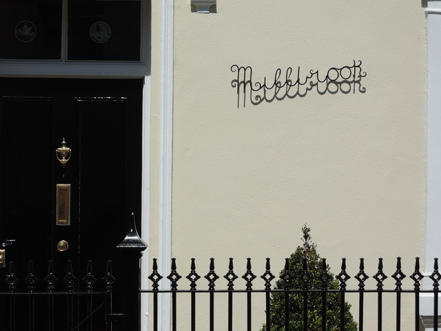
Image: © Martin Bodman Taken: 3 Jul 2014
In Mill Street. The name suggests a leat or stream nearby. Mill Street is named presumably because it leads to the former woollen mills below the town on the Teign. But there was also a woollen mill at Moorlands, across the street, in the first half of the nineteenth century
Images are licensed for reuse under creativecommons.org/licenses/by-sa/2.0
Image Location
Latitude
50.673229
Longitude
-3.841557