Avenue of trees near Weekley, Kettering: aerial 2014
Introduction
The photograph on this page of Avenue of trees near Weekley, Kettering: aerial 2014 by Chris as part of the Geograph project.
The Geograph project started in 2005 with the aim of publishing, organising and preserving representative images for every square kilometre of Great Britain, Ireland and the Isle of Man.

There are currently over 7.5m images from over 14,400 individuals and you can help contribute to the project by visiting https://www.geograph.org.uk
Avenue of trees near Weekley, Kettering: aerial 2014
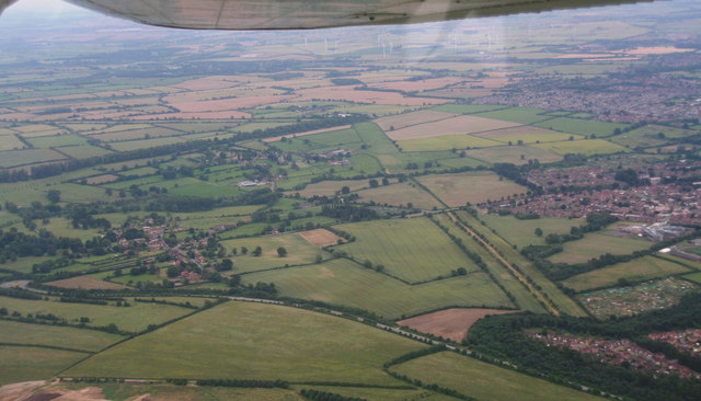
Image: © Chris Taken: 2 Jul 2014
Avenue seems to lead outwards from Weekley Hall Wood (below the camera) and leads, with breaks, to Warkton Lane. There are several such avenues in the area. In fact the (upward) continuation of Warkton Lane seems to be another such. See also Image
Images are licensed for reuse under creativecommons.org/licenses/by-sa/2.0
Image Location
Latitude
52.415058
Longitude
-0.706552