Gladstone Road and Westmead Lane
Introduction
The photograph on this page of Gladstone Road and Westmead Lane by John Stephen as part of the Geograph project.
The Geograph project started in 2005 with the aim of publishing, organising and preserving representative images for every square kilometre of Great Britain, Ireland and the Isle of Man.

There are currently over 7.5m images from over 14,400 individuals and you can help contribute to the project by visiting https://www.geograph.org.uk
Gladstone Road and Westmead Lane
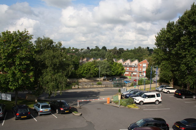
Image: © John Stephen Taken: 29 Jun 2014
View from one of the back bedrooms of The Angel Hotel looking over car park and to the newish houses by the river in Westmead Lane. Westmead Lane runs along the river bank to playing fields which were the main venue of the Chippenham and District Sunday league. The lane ran through a meat processing factory which shut in 2007 and is now being redeveloped into retirement housing.
Images are licensed for reuse under creativecommons.org/licenses/by-sa/2.0
Image Location
Latitude
51.457269
Longitude
-2.117252