Holme Farm over wheat field
Introduction
The photograph on this page of Holme Farm over wheat field by Trevor Littlewood as part of the Geograph project.
The Geograph project started in 2005 with the aim of publishing, organising and preserving representative images for every square kilometre of Great Britain, Ireland and the Isle of Man.

There are currently over 7.5m images from over 14,400 individuals and you can help contribute to the project by visiting https://www.geograph.org.uk
Holme Farm over wheat field
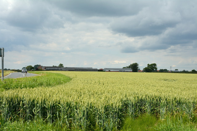
Image: © Trevor Littlewood Taken: 1 Jul 2014
The buildings of Holme Farm are seen over a field of ripening wheat; both lie adjacent to the B1223 which is the road at the left side of the image.
Images are licensed for reuse under creativecommons.org/licenses/by-sa/2.0
Image Location
Latitude
53.806355
Longitude
-1.096001