B3001 crosses the River Wey
Introduction
The photograph on this page of B3001 crosses the River Wey by Stuart Logan as part of the Geograph project.
The Geograph project started in 2005 with the aim of publishing, organising and preserving representative images for every square kilometre of Great Britain, Ireland and the Isle of Man.

There are currently over 7.5m images from over 14,400 individuals and you can help contribute to the project by visiting https://www.geograph.org.uk
B3001 crosses the River Wey
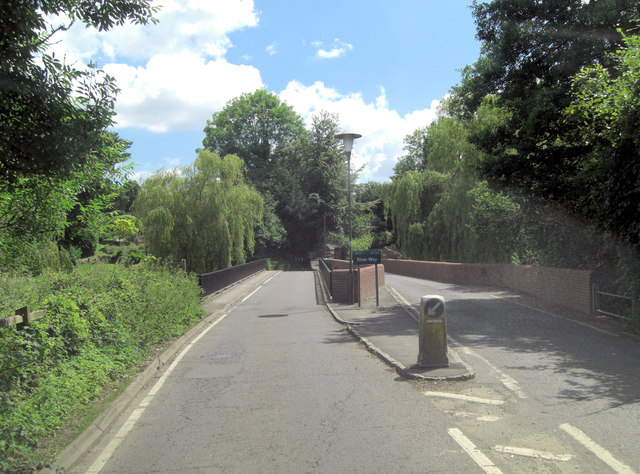
Image: © Stuart Logan Taken: 29 Jun 2014
The River Wey is an 87 mile long tributary of the River Thames. Crossing it in the 13th C at this point would have entailed using the Grade I listed, Scheduled Ancient Monument on the right of the picture. The brick parapet is modern, as is the carriageway directly ahead. See: http://en.wikipedia.org/wiki/River_Wey and http://www.britishlistedbuildings.co.uk/en-291513-elstead-bridge-elstead-surrey
Images are licensed for reuse under creativecommons.org/licenses/by-sa/2.0
Image Location


Leaflet Map data © OpenStreetMap
Latitude
51.186358
Longitude
-0.706039