Gateway into arable fields
Introduction
The photograph on this page of Gateway into arable fields by Graham Robson as part of the Geograph project.
The Geograph project started in 2005 with the aim of publishing, organising and preserving representative images for every square kilometre of Great Britain, Ireland and the Isle of Man.

There are currently over 7.5m images from over 14,400 individuals and you can help contribute to the project by visiting https://www.geograph.org.uk
Gateway into arable fields
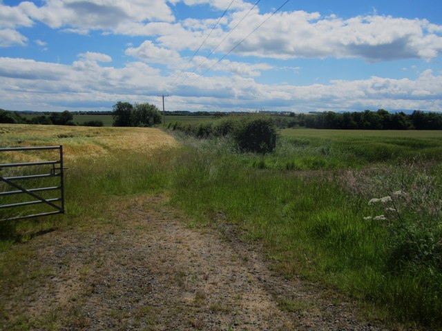
Image: © Graham Robson Taken: 30 Jun 2014
A gateway off a minor country road providing access into side by side arable fields. Barley is growing in both fields though the crop in the field on the left is more advanced.
Images are licensed for reuse under creativecommons.org/licenses/by-sa/2.0
Image Location


Leaflet Map data © OpenStreetMap
Latitude
55.684979
Longitude
-2.009516