Cann Wood
Introduction
The photograph on this page of Cann Wood by Derek Harper as part of the Geograph project.
The Geograph project started in 2005 with the aim of publishing, organising and preserving representative images for every square kilometre of Great Britain, Ireland and the Isle of Man.

There are currently over 7.5m images from over 14,400 individuals and you can help contribute to the project by visiting https://www.geograph.org.uk
Cann Wood
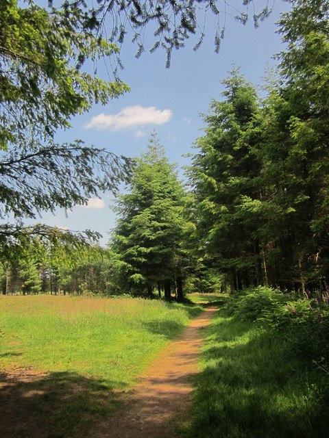
Image: © Derek Harper Taken: 23 Jun 2014
This path, not far from Boringdon Camp, is heading towards the road down the east side of the wood, a little south of the car park.
Images are licensed for reuse under creativecommons.org/licenses/by-sa/2.0
Image Location
Latitude
50.417135
Longitude
-4.048245