The approach to Goudhurst
Introduction
The photograph on this page of The approach to Goudhurst by Marathon as part of the Geograph project.
The Geograph project started in 2005 with the aim of publishing, organising and preserving representative images for every square kilometre of Great Britain, Ireland and the Isle of Man.

There are currently over 7.5m images from over 14,400 individuals and you can help contribute to the project by visiting https://www.geograph.org.uk
The approach to Goudhurst
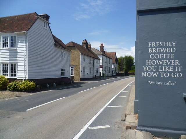
Image: © Marathon Taken: 23 Jun 2014
This is Cranbrook Road (A262) which is the approach to Goudhurst from the east. The notice on the right belongs to The Chequers Inn which is next to the junction with Chequers Road.
Images are licensed for reuse under creativecommons.org/licenses/by-sa/2.0
Image Location
Latitude
51.113706
Longitude
0.471783