Hele Cross
Introduction
The photograph on this page of Hele Cross by jeff collins as part of the Geograph project.
The Geograph project started in 2005 with the aim of publishing, organising and preserving representative images for every square kilometre of Great Britain, Ireland and the Isle of Man.

There are currently over 7.5m images from over 14,400 individuals and you can help contribute to the project by visiting https://www.geograph.org.uk
Hele Cross
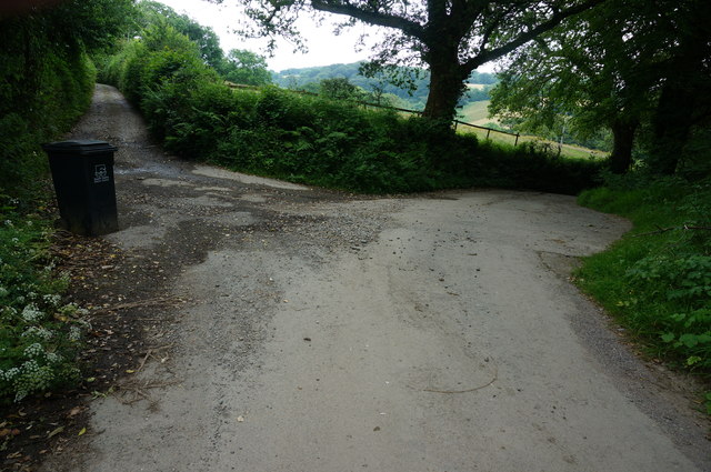
Image: © jeff collins Taken: 25 Jun 2014
The track left goes up to North Hele Farm, the minor road swings round right towards Tor.
Images are licensed for reuse under creativecommons.org/licenses/by-sa/2.0
Image Location
Latitude
50.432696
Longitude
-3.954149