Sandford Cottage, Beaminster
Introduction
The photograph on this page of Sandford Cottage, Beaminster by Derek Harper as part of the Geograph project.
The Geograph project started in 2005 with the aim of publishing, organising and preserving representative images for every square kilometre of Great Britain, Ireland and the Isle of Man.

There are currently over 7.5m images from over 14,400 individuals and you can help contribute to the project by visiting https://www.geograph.org.uk
Sandford Cottage, Beaminster
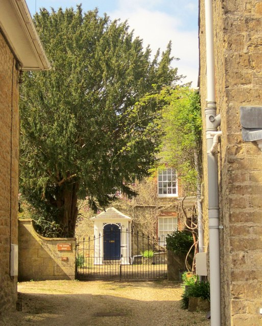
Image: © Derek Harper Taken: 13 Apr 2014
A glimpse of a former cooper's from the Wessex Ridgeway on Fleet Street. The early C19 cottage is described at http://list.english-heritage.org.uk/resultsingle.aspx?uid=1118734&searchtype=mapsearch .
Images are licensed for reuse under creativecommons.org/licenses/by-sa/2.0
Image Location
Latitude
50.809806
Longitude
-2.739398