Beauly Firth shoreline, by Lettoch
Introduction
The photograph on this page of Beauly Firth shoreline, by Lettoch by Craig Wallace as part of the Geograph project.
The Geograph project started in 2005 with the aim of publishing, organising and preserving representative images for every square kilometre of Great Britain, Ireland and the Isle of Man.

There are currently over 7.5m images from over 14,400 individuals and you can help contribute to the project by visiting https://www.geograph.org.uk
Beauly Firth shoreline, by Lettoch
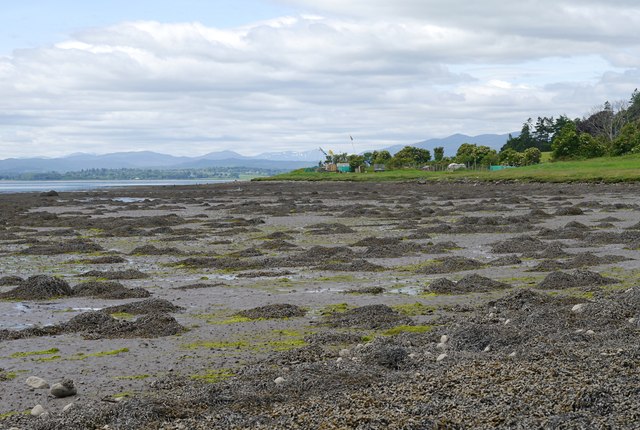
Image: © Craig Wallace Taken: 16 Jun 2014
Looking west towards the head of the firth, at close to low tide. A large area of mud and seaweed along the shore. The small peninsula in the middle has a collection of sheds, tents and flags, it may be some sort of garden. The hills around Strathfarrar are visible in the distance.
Images are licensed for reuse under creativecommons.org/licenses/by-sa/2.0
Image Location
Latitude
57.504396
Longitude
-4.292259