Eller Beck Used as Part of Stokesley Flood Defence Scheme
Introduction
The photograph on this page of Eller Beck Used as Part of Stokesley Flood Defence Scheme by Mick Garratt as part of the Geograph project.
The Geograph project started in 2005 with the aim of publishing, organising and preserving representative images for every square kilometre of Great Britain, Ireland and the Isle of Man.

There are currently over 7.5m images from over 14,400 individuals and you can help contribute to the project by visiting https://www.geograph.org.uk
Eller Beck Used as Part of Stokesley Flood Defence Scheme
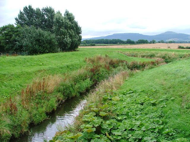
Image: © Mick Garratt Taken: 20 Aug 2005
Before the defences were constructed the River Leven regularly flooded nearby Stokesley.
Images are licensed for reuse under creativecommons.org/licenses/by-sa/2.0
Image Location


Leaflet Map data © OpenStreetMap
Latitude
54.461994
Longitude
-1.194695