View of the Horsleyhopes
Introduction
The photograph on this page of View of the Horsleyhopes by Robert Graham as part of the Geograph project.
The Geograph project started in 2005 with the aim of publishing, organising and preserving representative images for every square kilometre of Great Britain, Ireland and the Isle of Man.

There are currently over 7.5m images from over 14,400 individuals and you can help contribute to the project by visiting https://www.geograph.org.uk
View of the Horsleyhopes
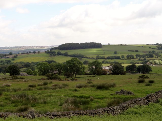
Image: © Robert Graham Taken: 18 Jun 2014
Looking east from the road just south of Goldhill farm to the three farms called Horsleyhope. From left to right; High, Middle and Low. Prominent on the horizon is the wood at Healeyfield.
Images are licensed for reuse under creativecommons.org/licenses/by-sa/2.0
Image Location


Leaflet Map data © OpenStreetMap
Latitude
54.821774
Longitude
-1.911569