Chessington Road at the junction of Ruxley Lane
Introduction
The photograph on this page of Chessington Road at the junction of Ruxley Lane by David Howard as part of the Geograph project.
The Geograph project started in 2005 with the aim of publishing, organising and preserving representative images for every square kilometre of Great Britain, Ireland and the Isle of Man.

There are currently over 7.5m images from over 14,400 individuals and you can help contribute to the project by visiting https://www.geograph.org.uk
Chessington Road at the junction of Ruxley Lane
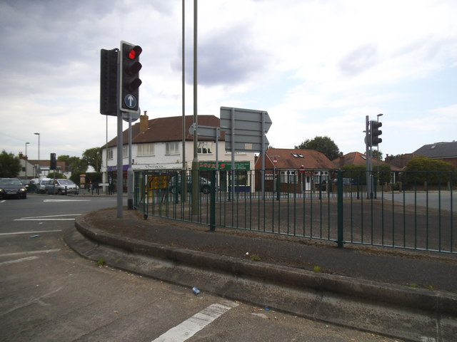
Image: © David Howard Taken: 23 Jun 2014
This is not a sensible junction. Once a roundabout it is now a maze. The straight ahead arrow is actually for the right turn into Ruxley Lane, while the right turn arrow before you get here is for a U turn, as if many people would know that or want to if they did.
Images are licensed for reuse under creativecommons.org/licenses/by-sa/2.0
Image Location
Latitude
51.360286
Longitude
-0.280729