View of Holden Point, Waddington Street and a new unknown block of flats from the footbridge over the station
Introduction
The photograph on this page of View of Holden Point, Waddington Street and a new unknown block of flats from the footbridge over the station by Robert Lamb as part of the Geograph project.
The Geograph project started in 2005 with the aim of publishing, organising and preserving representative images for every square kilometre of Great Britain, Ireland and the Isle of Man.

There are currently over 7.5m images from over 14,400 individuals and you can help contribute to the project by visiting https://www.geograph.org.uk
View of Holden Point, Waddington Street and a new unknown block of flats from the footbridge over the station
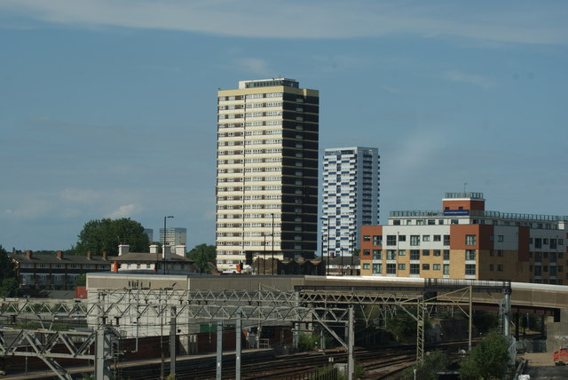
Image: © Robert Lamb Taken: 22 Jun 2014
I don't know what the blue towerblock in the background is called as it doesn't appear in the 2012 Streetview: https://www.google.co.uk/maps/51.546708,0.002346,3a,75y,90.69h,89.36t/data=!3m4!1e1!3m2!1srUqUJsTxLDrxTmnw26bClQ!2e0, but the much older brown towerblock in the foreground is Holden Point on Waddington Street. Looking north-northeast
Images are licensed for reuse under creativecommons.org/licenses/by-sa/2.0
Image Location
Latitude
51.544671
Longitude
0.000374