Radar device, Bushy Hill
Introduction
The photograph on this page of Radar device, Bushy Hill by Robin Webster as part of the Geograph project.
The Geograph project started in 2005 with the aim of publishing, organising and preserving representative images for every square kilometre of Great Britain, Ireland and the Isle of Man.

There are currently over 7.5m images from over 14,400 individuals and you can help contribute to the project by visiting https://www.geograph.org.uk
Radar device, Bushy Hill
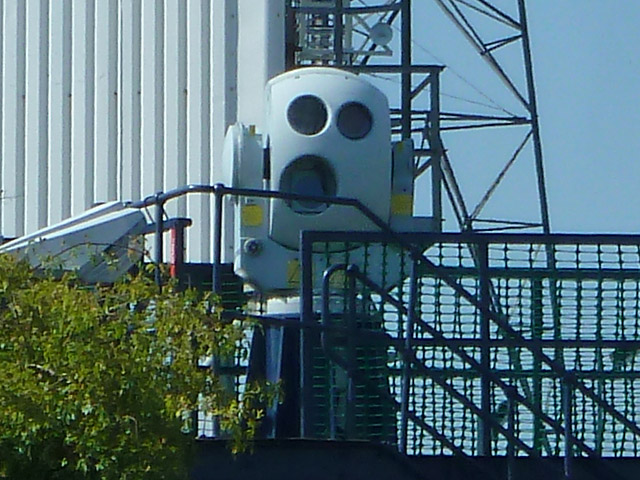
Image: © Robin Webster Taken: 21 Jun 2014
Within the experimental station, this small device looks very android-like!
Images are licensed for reuse under creativecommons.org/licenses/by-sa/2.0
Image Location
Latitude
51.656494
Longitude
0.619633