Track on Chesterton Fen
Introduction
The photograph on this page of Track on Chesterton Fen by Bill Boaden as part of the Geograph project.
The Geograph project started in 2005 with the aim of publishing, organising and preserving representative images for every square kilometre of Great Britain, Ireland and the Isle of Man.

There are currently over 7.5m images from over 14,400 individuals and you can help contribute to the project by visiting https://www.geograph.org.uk
Track on Chesterton Fen
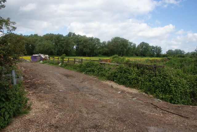
Image: © Bill Boaden Taken: 25 May 2014
This provides private access to the smallholdings, but there is no public access over the field. In any event, the railway is a major barrier on the other side of the trees.
Images are licensed for reuse under creativecommons.org/licenses/by-sa/2.0
Image Location


Leaflet Map data © OpenStreetMap
Latitude
52.228226
Longitude
0.165089