Crop near Elm Gate
Introduction
The photograph on this page of Crop near Elm Gate by Derek Harper as part of the Geograph project.
The Geograph project started in 2005 with the aim of publishing, organising and preserving representative images for every square kilometre of Great Britain, Ireland and the Isle of Man.

There are currently over 7.5m images from over 14,400 individuals and you can help contribute to the project by visiting https://www.geograph.org.uk
Crop near Elm Gate
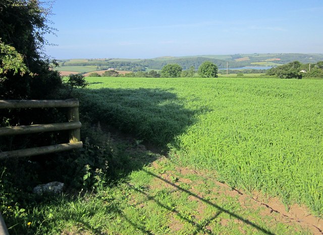
Image: © Derek Harper Taken: 14 Jun 2014
From a gateway on the no through lane to Ince Castle. The trees across the field are in Image In the distance is the St Germans River with Sheviock Wood. The village of Crafthole can be made out at larger sizes to the left.
Images are licensed for reuse under creativecommons.org/licenses/by-sa/2.0
Image Location


Leaflet Map data © OpenStreetMap
Latitude
50.39367
Longitude
-4.265883