Lower Sheering village sign
Introduction
The photograph on this page of Lower Sheering village sign by Bikeboy as part of the Geograph project.
The Geograph project started in 2005 with the aim of publishing, organising and preserving representative images for every square kilometre of Great Britain, Ireland and the Isle of Man.

There are currently over 7.5m images from over 14,400 individuals and you can help contribute to the project by visiting https://www.geograph.org.uk
Lower Sheering village sign
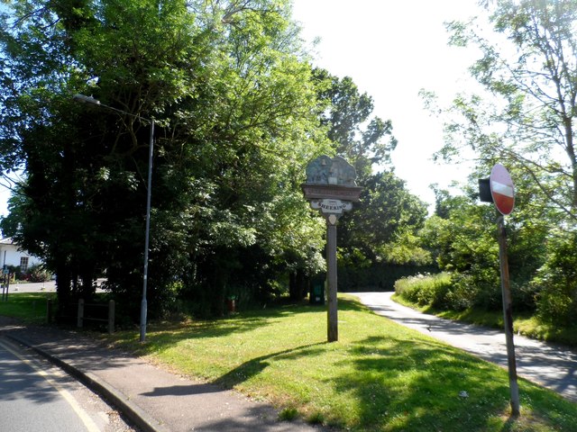
Image: © Bikeboy Taken: 21 Jun 2014
This sign was erected in 2002. It bears the inscription "Sceringa 1086"-how the village was named in the Domesday Book.
Images are licensed for reuse under creativecommons.org/licenses/by-sa/2.0
Image Location
Latitude
51.814164
Longitude
0.163464