B1018, Burnham Road
Introduction
The photograph on this page of B1018, Burnham Road by Robin Webster as part of the Geograph project.
The Geograph project started in 2005 with the aim of publishing, organising and preserving representative images for every square kilometre of Great Britain, Ireland and the Isle of Man.

There are currently over 7.5m images from over 14,400 individuals and you can help contribute to the project by visiting https://www.geograph.org.uk
B1018, Burnham Road
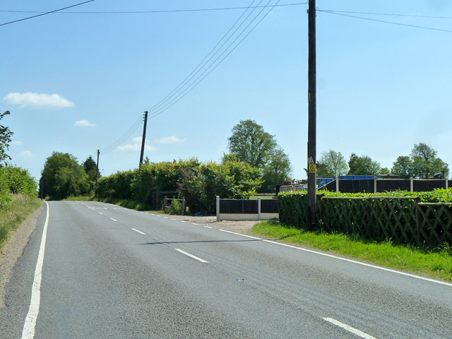
Image: © Robin Webster Taken: 21 Jun 2014
Heading here in a straight course not towards Burnham, but towards Asheldham. The way to Burnham soon turns off from this direction and lengthily doglegs through the ancient field and lane layout of the Dengie peninsula to Burnham.
Images are licensed for reuse under creativecommons.org/licenses/by-sa/2.0
Image Location
Latitude
51.668094
Longitude
0.741792