Thornton Stud Park
Introduction
The photograph on this page of Thornton Stud Park by Gordon Hatton as part of the Geograph project.
The Geograph project started in 2005 with the aim of publishing, organising and preserving representative images for every square kilometre of Great Britain, Ireland and the Isle of Man.

There are currently over 7.5m images from over 14,400 individuals and you can help contribute to the project by visiting https://www.geograph.org.uk
Thornton Stud Park
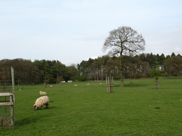
Image: © Gordon Hatton Taken: 16 Apr 2007
Parkland at Thornton Stud with a mixture of mature and young trees. Plenty of evidence in the parkland of ridge and furrow ploughing from medieval times.
Images are licensed for reuse under creativecommons.org/licenses/by-sa/2.0
Image Location
Latitude
54.263044
Longitude
-1.382806