Talbot House Farmhouse and Treborough Cottage
Introduction
The photograph on this page of Talbot House Farmhouse and Treborough Cottage by Alan Murray-Rust as part of the Geograph project.
The Geograph project started in 2005 with the aim of publishing, organising and preserving representative images for every square kilometre of Great Britain, Ireland and the Isle of Man.

There are currently over 7.5m images from over 14,400 individuals and you can help contribute to the project by visiting https://www.geograph.org.uk
Talbot House Farmhouse and Treborough Cottage
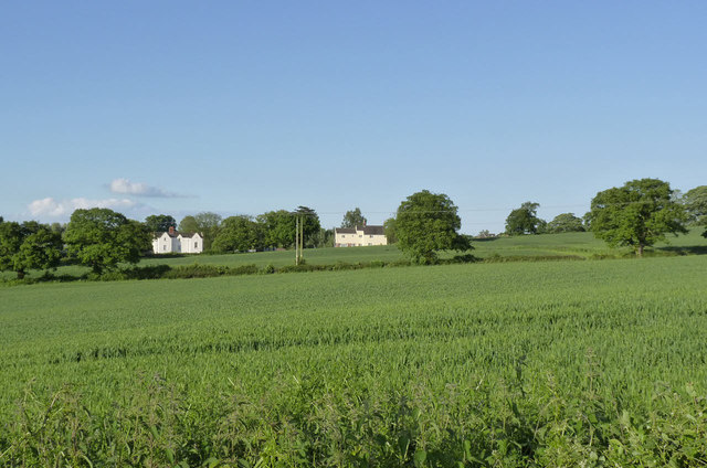
Image: © Alan Murray-Rust Taken: 5 Jun 2014
Viewed across fields of wheat from the lane to Calcutta Pit.
Images are licensed for reuse under creativecommons.org/licenses/by-sa/2.0
Image Location
Latitude
52.750329
Longitude
-1.376684