Tanfield: former railway station, 1995
Introduction
The photograph on this page of Tanfield: former railway station, 1995 by Ben Brooksbank as part of the Geograph project.
The Geograph project started in 2005 with the aim of publishing, organising and preserving representative images for every square kilometre of Great Britain, Ireland and the Isle of Man.

There are currently over 7.5m images from over 14,400 individuals and you can help contribute to the project by visiting https://www.geograph.org.uk
Tanfield: former railway station, 1995
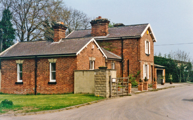
Image: © Ben Brooksbank Taken: 30 Apr 1995
View eastward, towards Melmerby: ex-NER Melmerby - Masham branch. The station and branch closed to passengers 1/1/31, but remained open for goods until 11/11/63.
Images are licensed for reuse under creativecommons.org/licenses/by-sa/2.0
Image Location


Leaflet Map data © OpenStreetMap
Latitude
54.207125
Longitude
-1.589849